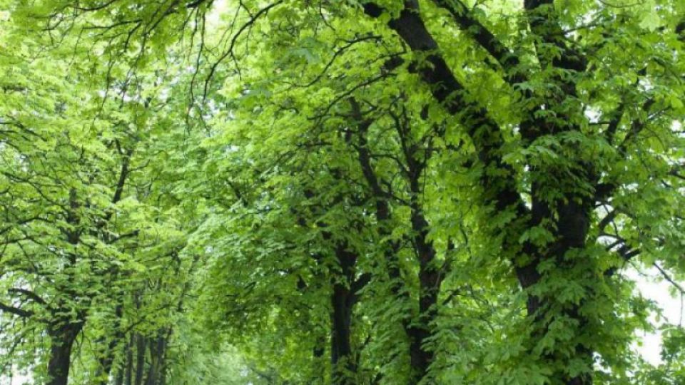
After a two-year effort, the team of geographers from the University of Ostrava, together with the Arnika NGO, has launched a new map and database for 992 Moravian and Silesian tree-lined avenues. It contains information about tree types growing there and their health condition. Besides being of use to road maintenance and other officials, the database information also will help tourists from now on - in the form of a brand new guide including tips for trips leading right along the tree avenues. This methodology of tree avenue mapping has been invented by scientists from Ostrava and can be used by experts from other regions of the Czech Republic as well. Also Moravian university students have significantly contributed to the mapping.
"There was a lack of such a detailed and extensive database in the Czech Republic until now. It is a useful source for road maintenance that specifies how many and what kinds of trees are in tree avenues along the roads. It describes their condition and helps in the planning of their maintenance. Moreover, the database is useful to officials who can use it to prepare documents for nature conservation, to plan budgets for tree maintenance and to raise money for nature and landscape protection investments, for example," summarizes the benefits of the new database RNDr. Marcela Klemensová from Arnika, the project manager.
"Municipalities can use the maps of tree avenues for attracting tourists, for planning the development of nature trails and other attractions, rest areas or refreshment stands, and also for planning of new routes between villages and countryside sights. In order to help tourists and municipalities, we have selected 241 of the most interesting tree avenues and prepared 9 cycling trails published in the tourist guide Pathways to Moravian Tree Avenues," says Klemensová.
You can order the guide (in Czech) at https://arnika.org/mapa-aleji-moravy-a-slezska-turistum-pomuze-novy-pruvodce-rozvoji-regionu-poslouzi-odborna-databaze or purchase it in the selected information centers.
"This type of project is very valuable to us. An undisputed benefit of the project is the link between studies and scientific work as well as practical results. The actual mapping was done by our students within the framework of their theses, providing them with a professional growth opportunity and enabling them to do popular fieldwork. In addition, we have managed to contribute to regional development by providing data for the better protection and development of tree avenues as important and particularly attractive landscape elements," says the expert guarantor of the project, Ing. Radek Dušek PhD, from the Department of Physical Geography and Geo-Ecology at the University of Ostrava.
The database and methodology were created in cooperation with experts of the following agencies: the Department of Physical Geography and Geo-Ecology at the Faculty of Science at the University of Ostrava; the Department of Geography, the Faculty of Science at Palacky University in Olomouc; the Information Agency of the Ministry of the Environment CENIA and the NGO called Arnika, as well as experts from the Agency for Nature Conservation and Landscape, the German University in Eberswalde and the Ministry of the Environment of Mecklenburg-Western Pomerania. The database is simple enough to be quickly put into practice, yet detailed enough to allow us to get key information, such as the coordinates of the beginning and the end of a tree avenue alley, its length, the number of trees and the tree types included, as well as tree health conditions and types of planting. The web portal, including the database of tree avenues, is a part of the Europe-wide INSPIRE database, which is also used by the European Commission for adopting and evaluating policies in the area of environmental improvements.
"We consider the project by Arnika, focusing on the regional mapping of tree avenues, to be very beneficial. The database created can be a valuable source of information for the further comprehensive care of green vegetation. Moreover, the data follow the same methodology in various regions, so it is possible to compare them with each other. The Moravian-Silesian Region is an area where the limits of airborne particles have been exceeded over a long period of time, especially due to pollution emissions from road transport. Active care of the vegetation along roads may significantly improve air quality. Therefore, the Moravian-Silesian Region is focusing on the implementation of other projects using European funds, including the new planting of tree avenues as well as the renewal of the existing ones in selected sections of regional roads," says Daniel Havlík, Deputy Governor for the Environment and Transport of the Moravian-Silesian Region.
"The Regional Road Administration of the Moravian-Silesian Region planted a total of 463 trees in 2014. More than half of them, exactly 241 trees, are a part of the trees lining roads. The usual maintenance of existing trees along roads includes marking trees with white stripes and trimming branches in order to ensure the safe passage of vehicles and the visibility of traffic signs. We also cooperate with the Department of Conservation and Agriculture of the Regional Authority on preparing and implementing projects of planting trees along roads owned by the Moravian-Silesian Region; the new database is a welcome tool for us," says Ing. Marek Porošín, from the Technical and Operational Department of the Moravian-Silesian Region Road Administration.
The development of the unique tools was supported by the Swiss-Czech Cooperation Program (http://www.swiss-contribution.cz, http://www.nadacepartnerstvi.cz) and the German Federal Foundation DBU (https://www.dbu.de/).


